Interactive Map for Comment
Below is an interactive map of the proposed scheme.
Please click on the map to add any opportunities or considerations that you would like us to be aware of. Please note all comments will be moderated before being posted – email addresses/names will not be shown.
Comment saved.
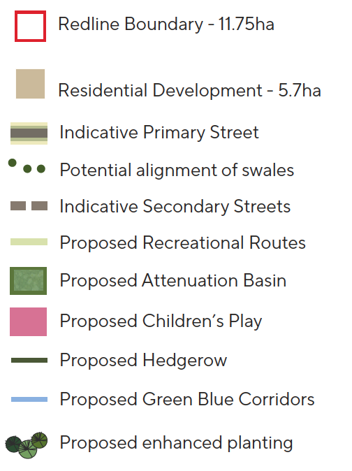
1. Proposed Vehicular Access
2. Proposed Pedestrian / Cycle Access
3. Potential Secondary Loop subject to review by Highways Engineers
4. Crossings through existing hedges considered with limited impact on tree and hedgerow removal
5. Built form to act as noise attenuating frontage to mitigate for impact of M11
6. Potential for Trim Trail